1 / 3
–
Rating
0 Ratings
8
Downloads
477
Views
0
Thanks
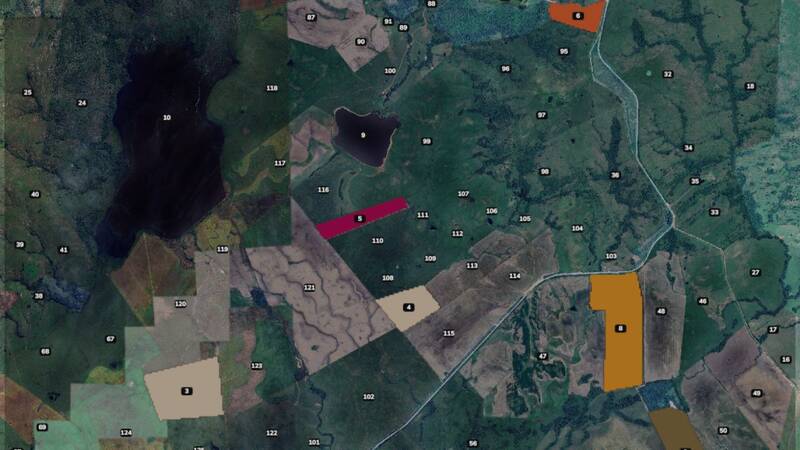
Discover Fazenda Seival, a detailed 16x map (8 km x 8 km) inspired by the beautiful Seival valley in southern Brazil. Located on the border between Caçapava do Sul and Lavras do Sul, this map features realistic terrain based on actual elevation data, ranging from 160 to 370 meters above sea level. Whether you're cruising through the valley or climbing the mountain towards Caçapava, this map offers a unique South American farming experience. The map is still in an early stage of development and may be freely edited and expanded by anyone who wants to contribute.
Comments
You must be logged in to comment.
No comments yet.