1 / 5
–
Rating
0 Ratings
0
Downloads
29
Views
0
Thanks
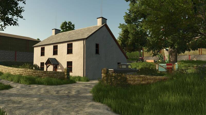
Glanrhyd – a charming British and Welsh-inspired countryside map, built from scratch in just 28 days as part of a mapping challenge. The map offers a traditional British rural atmosphere with narrow roads, rolling hills, hedgerows, stone walls, and a mix of small and medium-sized fields.
Map Highlights:
- 🚜 Rosehill Farm – an arable-focused farm
- 🐄 Caerau Farm – a dairy and beef farm
- 🏪 Dealership
- 🌾 Multiple selling points
- ⛽ Fuel station
- 🐑 Animal dealer
- 🍺 Twenty Eight Inn
- ⛪ Welsh-inspired chapel
- 🌳 Traditional hedgerows and stone walls
- 👥 50 supporter names hidden throughout the map
Explore a detailed traditional British farming environment with plenty of sights and lovingly crafted details.
Comments
You must be logged in to comment.
No comments yet.